Slightly to the side

Did you know that Earth's tilt affects the school year?


Published on March 2, 2026


Image: Kyle Glenn

We might refer to Planet Earth as ‘the globe’, but we know it is more like a slightly flattened sphere —experts would say it’s an oblate spheroid— that is also askew. These two details have major consequences for the climate, the night sky, the way we register locations, and even the way schools plan their academic year. How much does the Earth's being at an angle affect us? Let’s find out!

1

The axial tilt

Image: Andrew Neel

Why is Earth’s axis tilted? The most widely accepted theory is that, millions of years ago, a young planet Earth collided with another celestial body and was left permanently askew. Earth’s axis, supposedly straight before, now has a tilt of 23.5 degrees. It is also believed that the Moon is a product of this collision.

2

Will it keep moving?

Image: Ganapathy Kumar

The Earth is permanently tilted, but it’s not static. The degree of the tilt varies slightly across a cycle of thousands of years, which would explain why seasons were harsher or milder across history. But what keeps the Earth from having a more extreme shift? The Moon. All celestial bodies have their own gravity, and they can affect each other. Moon’s gravity has a pull on the equatorial bulge (Earth’s widest part) and prevents it from being affected by other surrounding planets, while also keeping the axial tilt stable.

3

The seasons

Image: Ethan Robertson

The different seasons are the first major consequence of the axial tilt. As the Earth orbits around the Sun, it remains tilted in the same direction, which means that, for half of the orbit, one pole is directly facing the Sun, while the other is directly away. For the next half of the orbit, the positions are reversed. The pole closer to the Sun experiences Summer, while the opposite pole goes through Winter (which means that yes, the Southern hemisphere celebrates Christmas during Summer).

4

North vs. True North

Image: Gaël Gaborel - OrbisTerrae

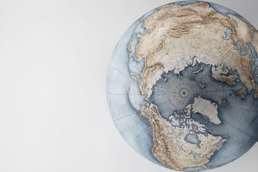
When a compass signals North, what is it pointing towards? Spoiler: not the North Pole. The North Pole (also known as True North, or Geographic North) it is a fixed point in the Arctic Ocean intersected by the rotational axis. Maps and coordinates use this point as a reference for the North. A compass, however, points towards the North of the Earth’s magnetic field, which is constantly shifting. The difference between the two Norths is called declination, and is essential for navigation and map reading.

5

The Mercator projection

Image: Andrew Stutesman

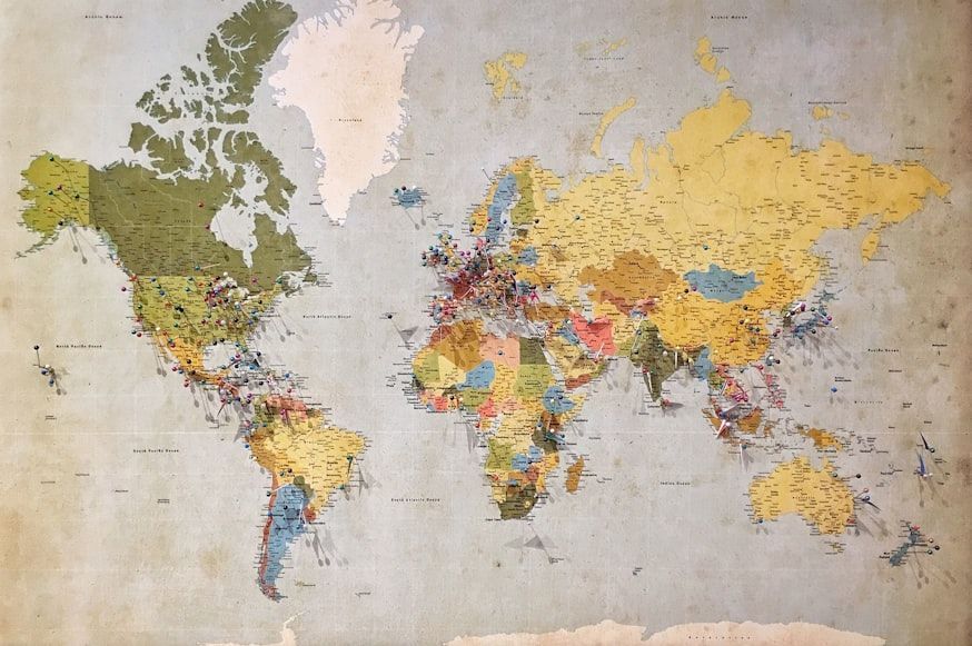
The Earth is a sphere, but most maps are flat. Something is not adding up, and it’s all the fault of a man called Gerardus Mercator, who, in the 16th century, mapped the Earth in a way that represented the meridians and parallels as straight lines. While this was excellent for navigation, it had its negatives: a size distortion. The farthest land masses are from the equator and closest to the poles, the most inflated in size they appear. For example, in the Mercator projection, Greenland appears close in size to the entire African continent, when in reality it is closer in size to the Democratic Republic of Congo.

6

The four hemispheres

Image: The New York Public Library

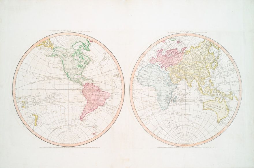
We all know the difference between the Northern and the Southern hemispheres, but did you know the difference between the Eastern and Western ones? Unlike North and South (which are divided by the equator and experience opposite seasons), the Eastern and Western hemispheres are more of a cultural division, even though they are separated by the Prime meridian and antimeridian. The Eastern Hemisphere is commonly associated with "the Old World" (though it includes Australia), and the Western Hemisphere is "the New World".

7

Land vs. Water

Image: Dan Stark

Hemispheres split the world equally in size, but not in content. The Northern Hemisphere contains the majority of the Earth’s land mass (around 68%), while the Southern Hemisphere holds the majority of the water (around 80%). As the Northern side has more land, it also houses the majority of the world’s population, around 90%.

8

Opposite sides

Image: Benjamin Voros

North and South experience opposite seasons, but what else is opposite? Storms and whirlpools spin depending on their location—clockwise in the South, counterclockwise in the North—, and the shape of the crescent moon is perceived inverted —a waxing crescent looks like a D from the North and a C from the South.

9

Different skies

Image: Dns Dgn

While bigger celestial objects, such as the Sun or Moon, are visible from any point on Earth, some can only be seen depending on your location. Constellations that are located closer to the Poles are only visible from that hemisphere, and have traditionally been used for navigation and orientation. In the Northern hemisphere, the main examples are Polaris (the north star), Ursa Major (a constellation that contains the Big Dipper), Ursa Minor, Cepheus, and Cassiopeia. For the Southern Hemisphere, the main examples are Crux (the Southern Cross), Centaurus, and Carina.

10

Calendar year vs. Academic year

Image: Element5 Digital

Most institutions plan their year around Summer, which means that in the Northern Hemisphere, the Academic year usually starts around September and ends in May or June of the following calendar year, while there’s a Winter break in time for Christmas and New Year. In the Southern Hemisphere, the calendar and academic years are matched: the academic year usually begins in March and ends mid-December, right before the Holidays, while Winter break usually falls in July.


Tango, Bravo

Codewords decoded: How many did you know?


Published on March 2, 2026


Image: orso bianco

In situations where clear communication is paramount, especially when lives are at stake, professionals often rely on standardized codewords and phonetic alphabets designed to prevent confusion. Either from movies or from personal experience, it's probable that you've heard at least some of these before, and many have found their way into everyday conversation. Let's find out how many of these code expressions you can recognize.

1

Mayday

Image: Zhuravlev Andrey

Mayday is the international distress call used when the sender is in immediate, life-threatening danger. Pilots and mariners use it to signal that they require urgent assistance due to situations such as engine failure, fire, flooding, or medical emergencies.

The word was introduced in 1923 by British radio officer Frederick Stanley Mockford, who based it on the French phrase m'aider, meaning "help me," in an attempt to make it internationally recognizable. Hearing this transmission immediately alerts emergency responders that every second counts.

2

Pan-Pan

Image: DenisProduction.com

Not every emergency is severe enough to warrant a mayday call. When a crew faces a problem that is urgent but not immediately life-threatening, the appropriate codeword is Pan-Pan.

Like mayday, it comes from French: it derives from panne, meaning a breakdown or mechanical failure. A Pan-Pan call might be used if an aircraft loses an engine but can still fly safely, or if a ship experiences equipment problems while remaining under control. It tells responders that assistance is needed, but that the situation has not yet become critical.

3

SOS

Image: Grisha Bruev

Few emergency signals are as universally recognizable as SOS. Contrary to popular belief, the letters do not officially stand for "Save Our Ship" or "Save Our Souls." It was adopted in 1906 because SOS is an extremely simple, easy-to-transmit, and unmistakable pattern in Morse code.

SOS remains one of the world's most enduring distress signals, and it's still recognized by rescue organizations all around the globe.

4

NATO Alphabet

Image: Alexandros Michailidis

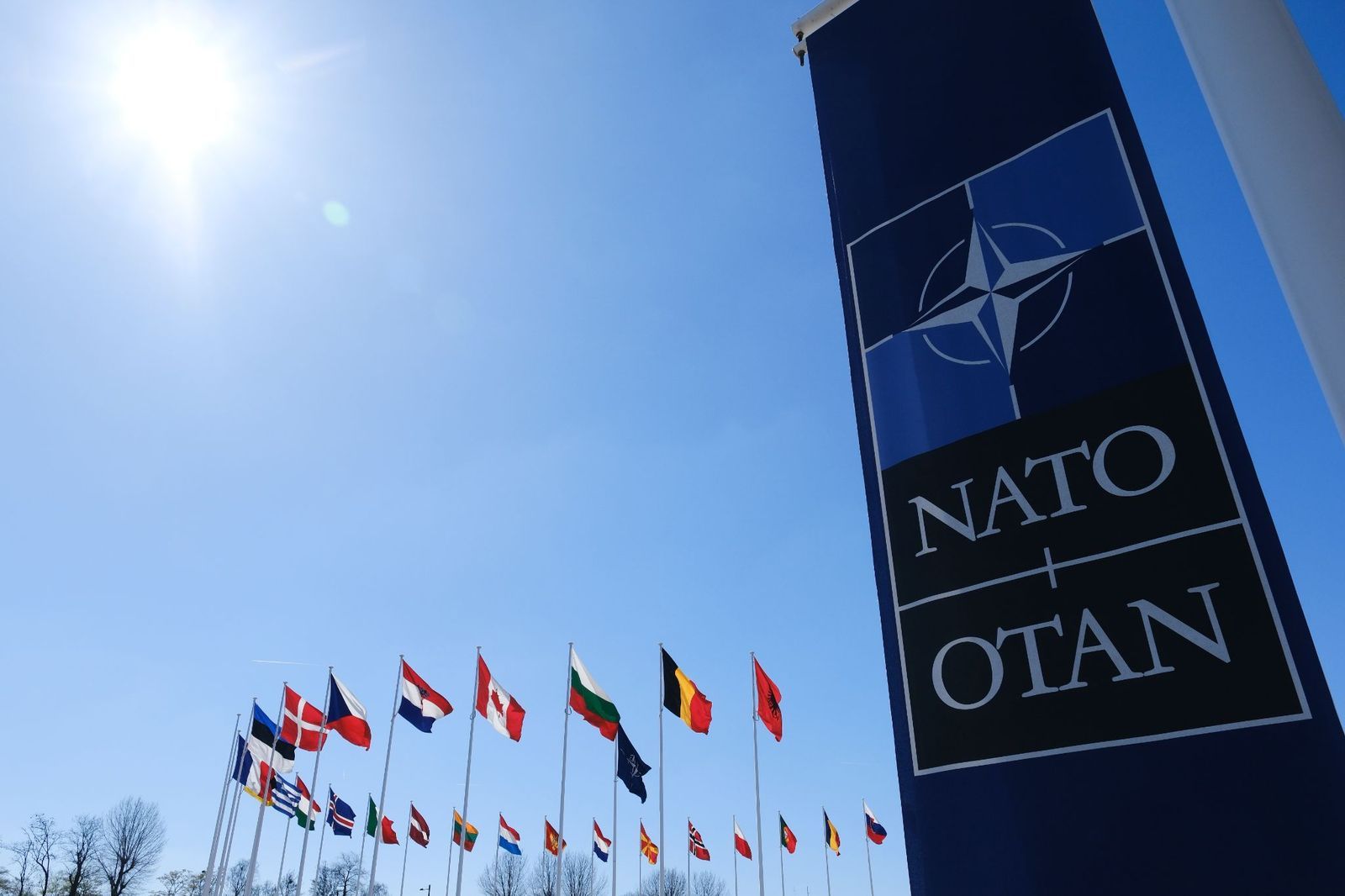
In the NATO phonetic alphabet, each letter is assigned a unique word to eliminate confusion when radio transmissions are distorted by noise or poor reception. If you've ever heard someone spell a name as "Mike Alpha Romeo Yankee," you've encountered the NATO phonetic alphabet.

The system was officially adopted by NATO in the 1950s and is now widely used by militaries, airlines, emergency responders, and many police departments worldwide. Using it greatly reduces the chance of misunderstanding important information over radio.

5

Roger

Image: nelikdulatov

Roger dates back to the early days of radio communication, when the letter R stood for "received." Before the adoption of the NATO alphabet, the US military used Roger instead of Romeo to represent that letter_._

Although modern communications systems have changed and the US military has fully embraced the use of the NATO alphabet, Roger remains standard aviation terminology, and it's one of the best-known radio acknowledgments in the world. It conveys a very simple but important meaning: "I have received and understood your message."

6

Wilco

Image: alleks19760526

Although many people assume Roger and Wilco mean the same thing, they actually convey different messages. Wilco is short for "will comply." In other words, it tells the sender not only that the message was received and understood, but that the instruction will be carried out.

Saying both Roger and Wilco is technically redundant in proper radio communication, since complying necessarily implies understanding, but the combination is often heard in movies and television.

7

Tango

Image: Quality Stock Arts

In the NATO phonetic alphabet, Tango simply represents the letter T. However, US military personnel have also adopted it as a shorthand when referring to a target or a hostile.

This secondary meaning became widely known through military operations in the twentieth century and has since appeared in countless books, films, and video games in phrases like "We've got one Tango moving north."

8

Oscar Mike

Image: Dragos Asaftei

Oscar Mike, NATO for the letters O and M, is military shorthand for "On the Move." It's a quick way of reporting that a unit has begun moving toward its objective.

The expression is especially common in the US military and has become more familiar to the general public through documentaries, memoirs, and films. It's finding its way into civilian life, meaning simply "I'm heading out."

9

10-4

Image: Elliott Cowand Jr

Ten-codes were developed during the 1930s to allow for brevity and standardization of message traffic in radio communications. They were widely adopted by US public safety departments and by radio enthusiasts.

While the system is being slowly phased out in favor of plain language communications, many local police, fire, and sheriff departments keep using it, and it is still strongly associated with radio culture by the general public. One of the most famous ten-codes is 10-4, meaning "received and understood."

10

Code Blue

Image: PeopleImages

Hospitals around the world use color-coded announcements to communicate emergencies without causing unnecessary panic among patients and visitors. Perhaps the best known is Code Blue, indicating that a patient is experiencing cardiac or respiratory arrest and requires immediate medical assistance.

While some hospitals use their own custom color codes, Code Blue has become so widely recognized that it now appears frequently in television dramas and everyday conversation whenever someone refers to a life-threatening medical emergency.

Looking for an extra scoop of literary fun?

Learn more with our Word of the day

odious

/ˈoʊdiəs/